Hold on to your hats! The 2024 hurricane season is shaping up to be a doozy.
◊
Initial forecasts for the upcoming hurricane season are out, and they suggest heightened tropical cyclone activity in both the Atlantic and Pacific regions this year. In the Atlantic, the season officially begins on June 1 and extends through November 30. Forecasters, including those from the Colorado State University Weather and Climate Research Team, are predicting an especially active year – with AccuWeather going so far as to warn that it has the potential to be an “explosive” storm season.
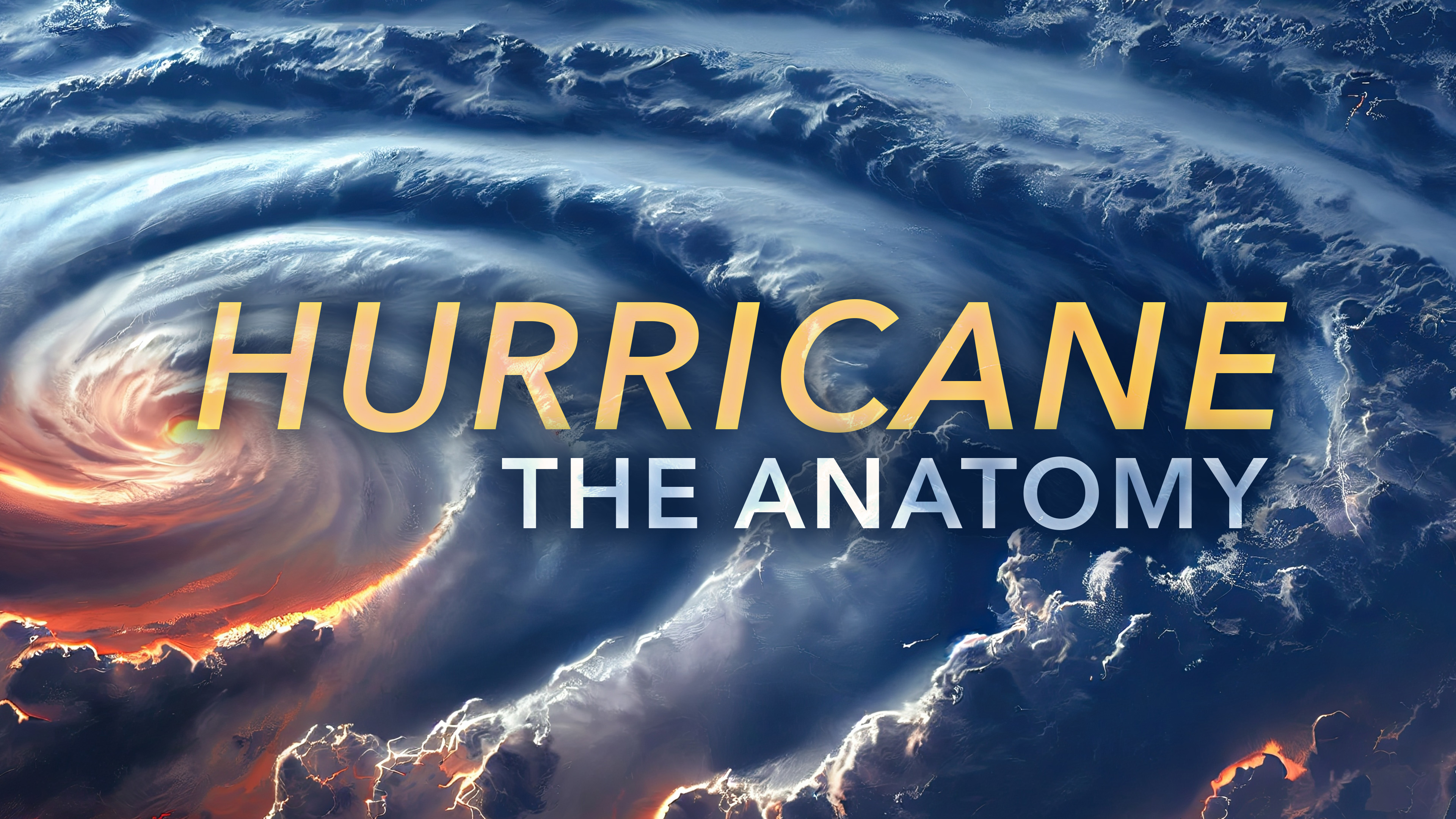
How do harmless breezes intensify into massive storms? Watch Hurricane: The Anatomy on MagellanTV to find out.
Factors such as historically warm Atlantic waters and the anticipated change from El Niño to La Niña conditions in the eastern Pacific off the coast of North America contribute to the concerns about an increase in tropical activity. Storm formation and intensification are typically enhanced when the sea temperature is high, and the rise of La Niña over the Pacific typically reduces vertical windshear, which would otherwise knock the top off the big storms coming across the Atlantic from east to west. AccuWeather meteorologists are expecting 20–25 named storms, including 8–12 hurricanes, 4–7 of them major (Category 3 or higher). The Colorado State researchers currently predict 23 named storms, 11 hurricanes, and 5 major hurricanes.
The Pacific hurricane season, starting May 15 for the northeastern basin (off the coast of North America) and June 1 for the central basin (a large area with Hawai’i near the center), also concludes on November 30. While specific forecasts for storm frequency and intensity are not currently available, general expectations can be drawn from the El Niño-Southern Oscillation (ENSO) effects. As the El Niño weakens to either a neutral or La Niña state by the beginning of the meteorological summer, increased tropical cyclone activity is likely over the Pacific due to more conducive atmospheric conditions.

Hurricane Ian making its first U.S. landfall in Southwest Florida, September 2002 (Credit: U.S. Geological Survey, via Wikimedia Commons)
Both regions’ hurricane activity is closely tied to the ENSO state, which influences global weather patterns. A weakening El Niño generally leads to less suppressive conditions over the oceans, favoring more frequent and often more intense hurricanes. However, significant variability in weather patterns and the unpredictability of climate transitions such as the spring predictability barrier make precise forecasts challenging. Meteorologists emphasize the importance of monitoring updates as the season progresses, given that conditions can change and impact the accuracy of early predictions.
Be Prepared
For those in hurricane-prone regions, staying informed through official weather channels and preparing for the hurricane season is crucial. As this year’s forecasts indicate, both the Atlantic and Pacific regions could experience extraordinary tropical cyclone activity in the coming months. Now is the time to put together hurricane kits, including: enough non-perishable food and water for several days, a battery-powered or hand-crank radio, flashlights, extra batteries, a first-aid kit, and a whistle to signal for help.
It looks like Jim Cantore and the crew at The Weather Channel might have their hands full this coming summer and fall. Let’s hope not – but get prepared anyway.
Ω
Title Image: Aftermath of Hurricane Michael near Panama City, Florida, October 2018 (Credit: U.S. Customs and Border Protection Air and Marine Operations, via Rawpixel)
